
1,485 American cities · 1837–1925
Find your hometown.
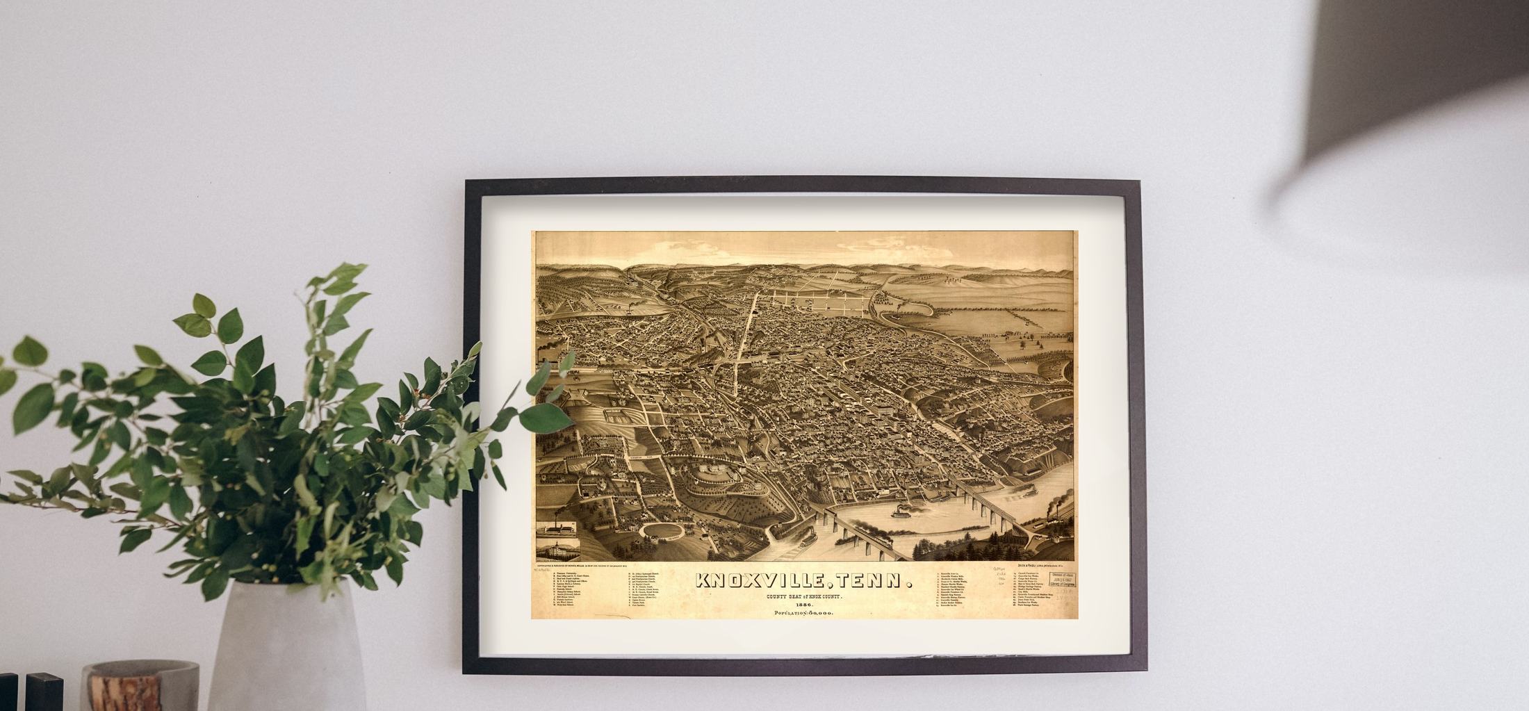
Bird's-eye view maps of American cities, drawn street by street and printed exactly as the sheets survive.
Recently added
Start with the one you know.


Browse
Every state we have a sheet for.
The country was drawn town by town. Pick a state to see what survives.
All states, A to Z
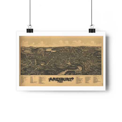
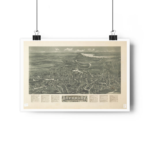
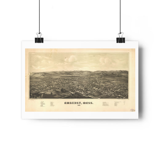
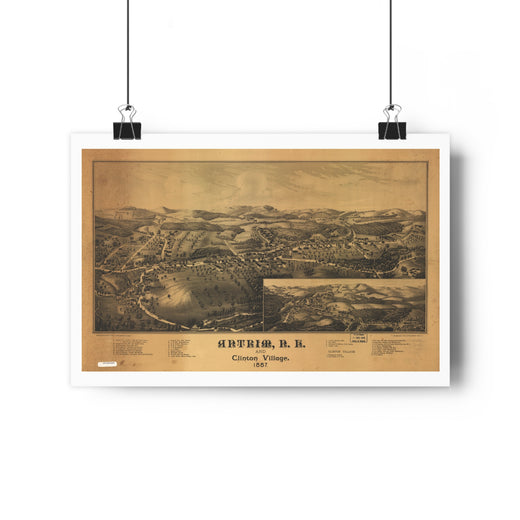
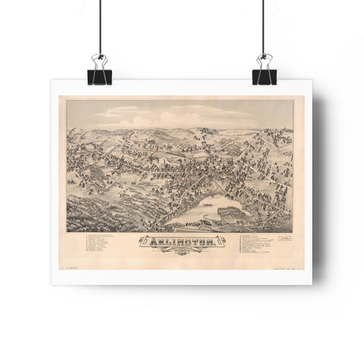
01 — The sheet
Drawn from a balloon that never flew.
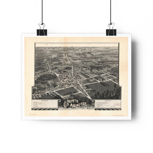
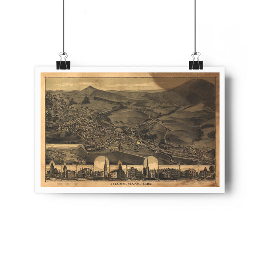
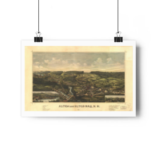
Between 1837 and 1925, artists like Albert Ruger and Thaddeus Fowler walked a town street by street, sketched every building, then composed the whole thing from an imagined height and sold the lithograph door to door by subscription. About fifteen hundred of them survive.
02 — The print
Not restored. On purpose.
We print the scan as the sheet survives — fold lines, foxing, the pencil note in the corner — and we print the whole sheet, title block and index included. A retouched map cropped to fill a frame is a poster. This is a document.
The whole sheet
Title block, index, margins and all. Nothing is cropped to fill a frame, which is why the print is sized to the map rather than the other way round.
Printed in the USA
Made to order on heavy matte art paper and dispatched within two business days.
Free shipping, 30-day returns
Every US order ships free. Send it back within 30 days for any reason. Damaged in transit, reprinted free.
New cities, once a month
We add cities every week.
One email a month: which towns went up, and what the artist got right.